
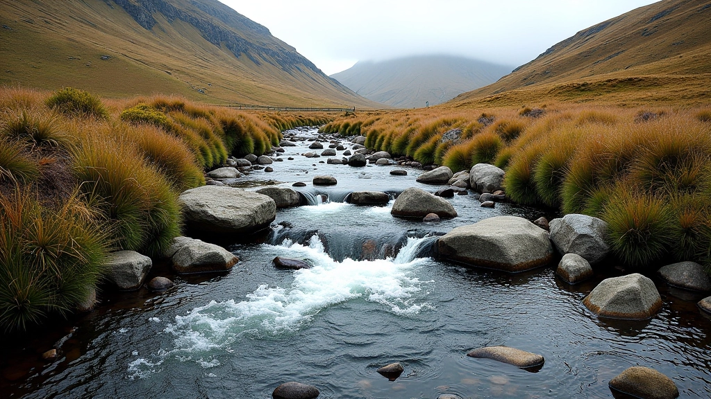
River Source Trail — Where Water Starts
Follow a stream to its source in about 4km. The path gets quieter as you climb but stays manageable. You'll see where the river actually begins — just a trickle in the bog.
A Quiet Walk to Where It All Begins
There's something special about following water uphill. Most people see a river and think of it as a finished thing — flowing, powerful, already formed. But this trail takes you the other way. You'll walk beside the stream as it gets smaller and smaller, until you're standing at the spot where it's barely more than a trickle seeping from the bogland.
The River Source Trail isn't demanding. It's about 4km there and back, with a gentle climb that doesn't rush you. The paths are clear and well-trodden. What makes it different is the experience — you're literally walking backward through the river's history, watching it become itself as you go down.
Distance & Time
4km round trip. Allow 2-2.5 hours including stops.
Terrain
Bogland path and stream-side track. Soft underfoot, can be wet.
Difficulty
Beginner-friendly. Steady climb but never steep or technical.
Starting Out — The Lower Stream
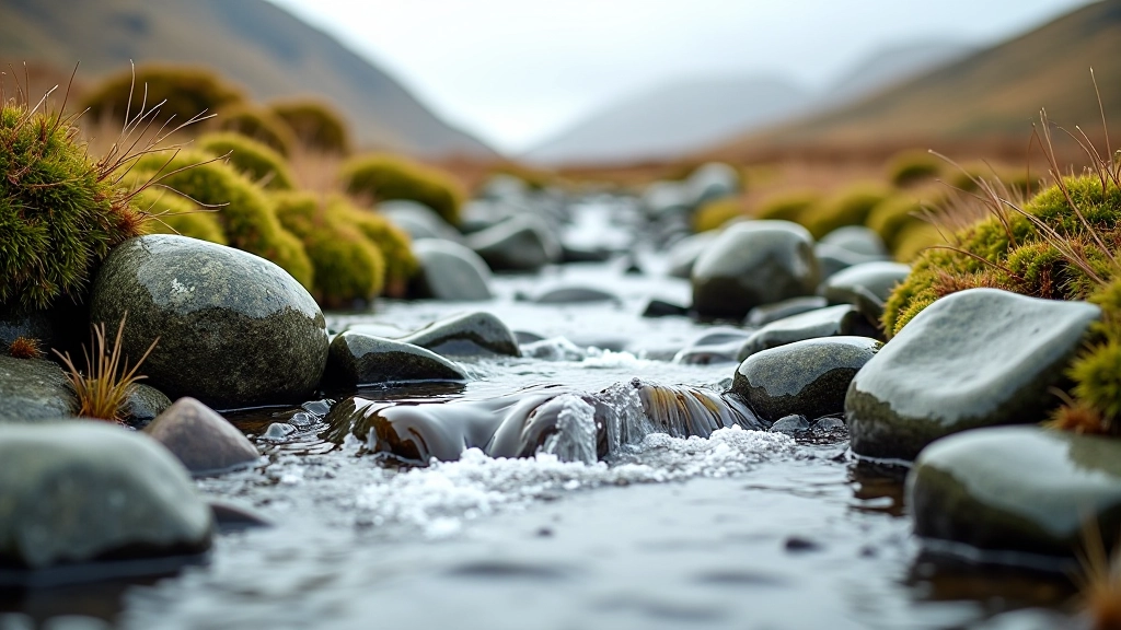
The walk begins near the car park with a clear path that runs alongside the river as it's already a proper stream. This is the busiest part of the walk — you might see other people here, especially on weekends. The water's moving well at this point, and the banks are green with moss and small plants that love the spray.
You'll notice the bogland on both sides straightaway. It's not threatening or wild-looking — just open, rolling terrain with low heather and grasses. The path itself is well-maintained. It's mostly firm underfoot, though there are boggy patches where it's wet after rain. Waterproof boots are a good idea, especially in winter or spring.
Tip: The first 20 minutes are the flattest. Use this section to warm up and settle into your pace. You'll need the rhythm later when the path starts climbing.
The Climb Gets Real
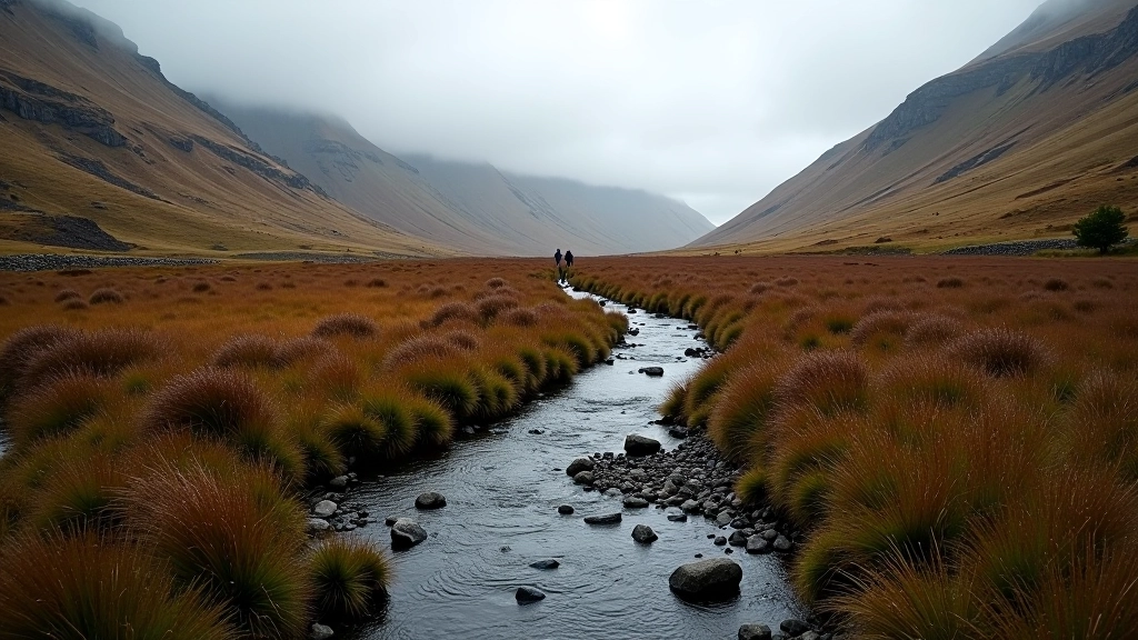
After about 30 minutes, the path starts to climb noticeably. It's not steep — nothing like a mountain path — but you'll feel the change in your legs. The stream gets narrower here, and the banks get closer together. You're literally working your way up to where the water's coming from.
This is where the walk becomes quieter. Most casual walkers stop before this point or turn back. You'll probably see fewer people, and the whole experience feels more peaceful. The bogland stretches out around you, and on clear days you can see across to other parts of the mountain.
The terrain stays manageable. There's no scrambling or technical sections. Just a steady, gradual climb following the stream upward. Your knees might be aware of the descent on the way back, but nothing alarming. The path's well-established from years of walkers doing exactly this.
What You'll See Along the Way
The Shrinking Stream
Watch the water get visibly smaller as you climb. What started as a proper stream becomes a trickle, then a seep. It's genuinely remarkable how obvious the progression is.
Bogland Plants
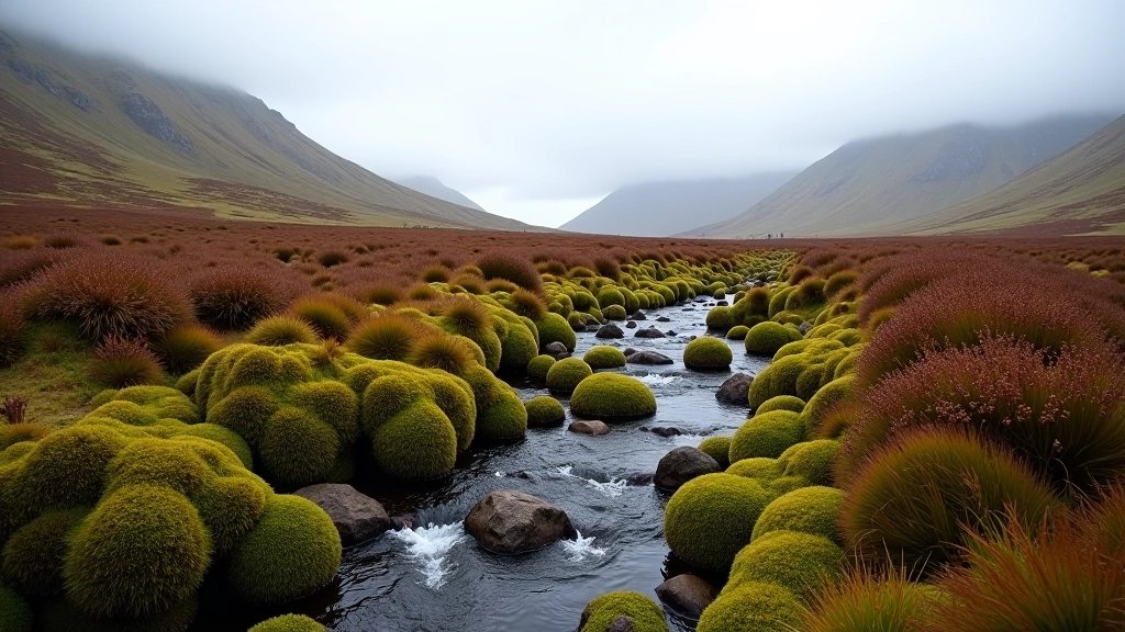
Heather, grasses, and sphagnum moss create the landscape. In summer there's more colour. Spring shows new growth. It changes season to season.
Wildlife Spotting
Red grouse are common in the bogland. You might spot rabbits near the lower sections. Birds of prey sometimes hunt overhead on clear days.
Wide Views
As you climb, you get perspective on how big the mountain really is. The Laois landscape spreads out behind you with each step upward.
Reaching the Source
The actual source isn't dramatic. There's no waterfall or dramatic spring. You'll reach a point where the stream is barely flowing — maybe just seeping from the bogland. It's anticlimactic in the best possible way. You're standing at the beginning of something, even if it doesn't look like much.
This is where you turn around. Some people sit here for a few minutes. The bogland's quiet. There's usually a breeze. You've just followed a river from its earliest moments to where you started, and you're standing at the exact opposite end of that journey.
Safety note: Choose activities that match your fitness level, check local conditions before travelling, and speak with your GP if you have health concerns before starting a new activity.
Practical Details for the Day
What to Bring
- Waterproof jacket — weather changes quickly
- Waterproof boots — bogland stays wet
- Water bottle — there's water nearby but bring your own
- Snack or light lunch — no facilities on the walk
- Basic first aid — just in case
Best Times to Walk
Spring (April-May) brings new growth and longer daylight. Summer is warmest but can be crowded. Autumn (September-October) offers good visibility and fewer people. Winter's possible but requires more care with boggy terrain.
Avoid midday in high summer if you don't like crowds. Early morning or late afternoon give you more peace and better light for photos.
Getting There
The trailhead's near Glenafelly. There's parking at the start. It's about 45 minutes from Portlaoise town centre, 90 minutes from Dublin. The roads are narrow in places but well-maintained.
Pace Yourself
Don't rush. The walk's only 4km but the terrain asks you to be steady rather than fast. Take breaks. Enjoy where you are. The whole experience takes about 2-2.5 hours if you're not hurrying.
Why This Walk Matters
The River Source Trail isn't famous. It doesn't have dramatic views or technical challenge. What it does have is a clear story — you're following water to its beginning, and that simple act of tracing something to its source feels meaningful.
It's accessible. It's honest about what it offers. And it gives you time to think while you're moving. That's rare on walks these days. Most routes try to impress you. This one just invites you to follow along and see where it goes.
If you're looking for a beginner walk that feels like a real journey — not just a circuit or a destination — this one delivers. You'll come back down the same way, but you won't feel like you've repeated the walk. Going down is its own experience.
Slieve Bloom Trails Editorial Team
Editorial Team
Written by the Slieve Bloom Trails editorial team, providing clear, tested information for accessible hiking in Laois.
Related Trails in Slieve Bloom
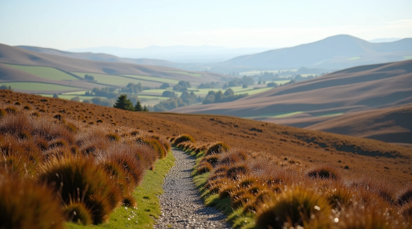
Glenafelly Ridge Walk — The Scenic Loop
A 6km circuit that follows the ridge with bogland views on both sides. Gentle climb with rewarding perspectives.
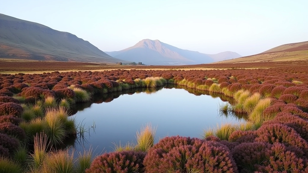
Bogland Pool Trail — The Easy Route
3km out and back to one of the prettiest pools on the mountain. Almost flat terrain and very straightforward.
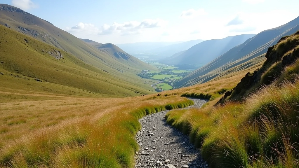
Col Circuit — Two Valleys in One Walk
8km loop that crosses two cols (mountain passes). More substantial walk with varied terrain and views.