
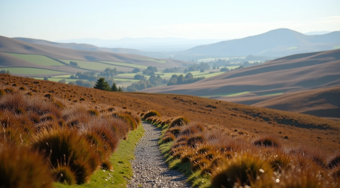
Glenafelly Ridge Walk — The Scenic Loop
A 6km circuit that follows the ridge with bogland views on both sides. Gentle climbing and rewarding panoramas from the high points.
Read More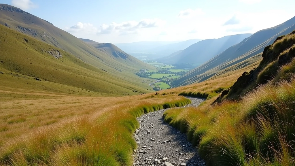
An 8km loop crossing two mountain passes with stunning views from the high points. More substantial than other routes but well within reach for those ready for something solid.
This route isn't a gentle stroll. It's a proper walk that'll take roughly three hours depending on pace and stops. You're climbing about 300 metres total, but it's spread across the two passes so you're never doing a brutal push for too long.
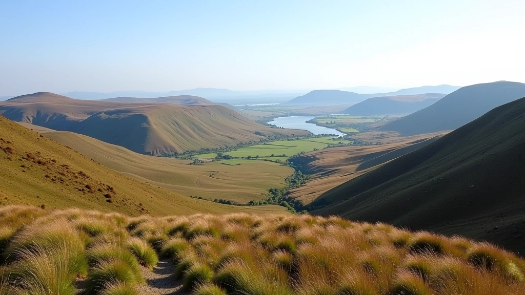
What makes it worth the effort? You'll see both the eastern and western valleys from the high points. On a clear day, you're looking across open bogland with mountain ridges in the distance. It's the kind of view that makes your legs feel better.
The path's well-maintained too. You won't be scrambling over loose rock or wrestling with bracken. Most of the route follows established tracks with only a few steeper sections where you'll feel your thighs working.
Choose activities that match your fitness level, check local conditions before travelling, and speak with your GP if you have health concerns before starting a new activity. Weather changes quickly in the mountains—bring proper gear and a map. Signal's unreliable at the high points, so let someone know your plans.
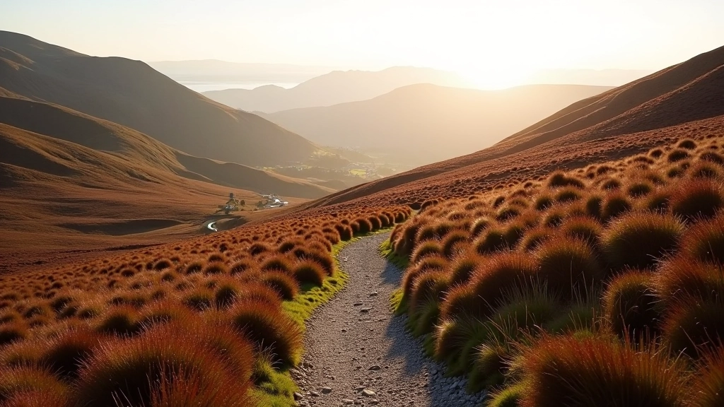
Start from the car park near the old stone walls—you'll find good parking there. The first section climbs steadily toward the northern col. You'll feel the gradient but it's not punishing. Most people take about 45 minutes to reach the top, depending on fitness and whether you're stopping for photos.
From the first col, you'll drop down into a small valley—this is where it gets interesting. The path crosses through bogland and then starts climbing toward the second col. This is the more remote section of the walk. You're higher up and more exposed to wind, but on calm days it's brilliant for views.
The second pass is the highest point of the walk. From there, you descend back toward the starting area via established tracks. The descent takes about an hour, and your knees'll be working harder than your lungs on the way down.
Distance: 8 kilometres. Elevation gain: roughly 300 metres. Time: 2.5 to 3.5 hours depending on fitness and stops. Terrain: mix of established track and bogland walking. Surfaces are mostly firm underfoot but can be boggy after heavy rain—waterproof boots make a real difference.
There's a water source near the starting point, but you'll want to bring a full bottle for the walk itself. It's not a walk you'd do in the dark. Summer evenings give you plenty of light, but in winter you're looking at an afternoon-only window.
Facilities at the start are minimal—there's parking and that's about it. Nearest proper facilities are in the village about 15 minutes' drive away. Don't expect shops or toilets on the mountain.
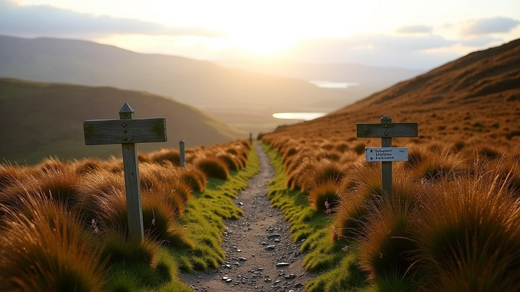
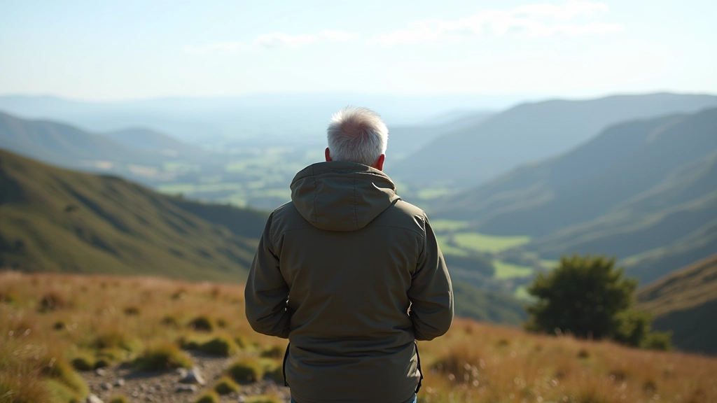
You're not just getting exercise here. You're spending a couple of hours in landscape that doesn't look like anywhere else. The cols give you perspectives you won't get on shorter routes. You see how the mountain's shaped, where the water flows, what the whole region looks like from above.
It's also quieter than the popular ridge walks. You'll likely see fewer people, which means more peace and better chance of spotting wildlife. Golden eagles use these thermals, and you'll see red grouse, mountain hares, and if you're lucky, red deer moving through the lower sections.
The walk works well year-round. Spring brings fresh growth and active wildlife. Summer's ideal for the views and long light. Autumn's got incredible colours in the heather. Winter's harder but spectacular if you catch a clear day with snow on the high points.
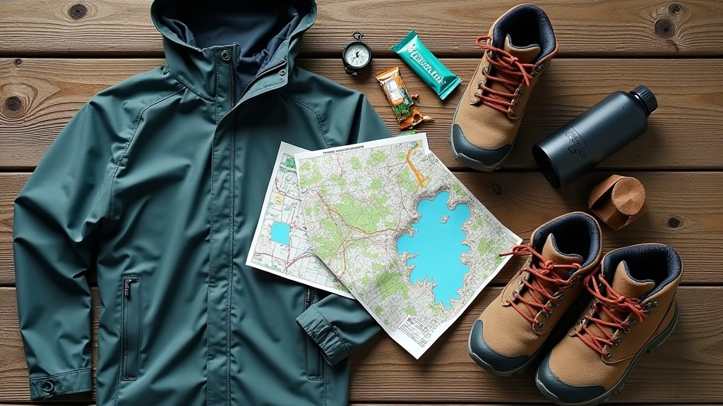
Wear proper walking boots or trail shoes with good ankle support. The terrain's uneven enough that trainers won't cut it. Bring layers—even in summer, the wind at the cols can be cold. A waterproof jacket and trousers are essential, not optional.
Pack a map and know how to use it. You won't need a fancy GPS for this route if you're paying attention, but having navigation backup's sensible. Tell someone where you're going and when you expect to be back. Bring a full water bottle and some food—energy bars, sandwiches, whatever keeps you going.
Start early. You want to finish before darkness even if you're walking in summer. Bad weather can come in fast, so monitor the forecast and don't go if there's high wind or low cloud forecast. You can't see the views in cloud, and exposed ridges in strong wind aren't fun.
The Col Circuit isn't a walk you'll rush through. It's designed for people who want more than a casual stroll but aren't ready for serious mountaineering. You'll be tired at the end—the good kind of tired where you've actually done something. The views from both cols make the effort worthwhile, and you'll see landscape most people miss because they're on busier routes.
This walk works because it's achievable but not easy. You'll remember it. The two valleys, the high points, the wind at the passes, the quiet bogland sections—it's a proper mountain experience in a manageable package. If you're ready for something solid and you've got a clear day ahead, this is worth putting in your plans.
Editorial Team
Written by the Slieve Bloom Trails editorial team, providing clear, tested information for accessible hiking in Laois.
Explore more routes in Slieve Bloom
A 6km circuit that follows the ridge with bogland views on both sides. Gentle climbing and rewarding panoramas from the high points.
Read More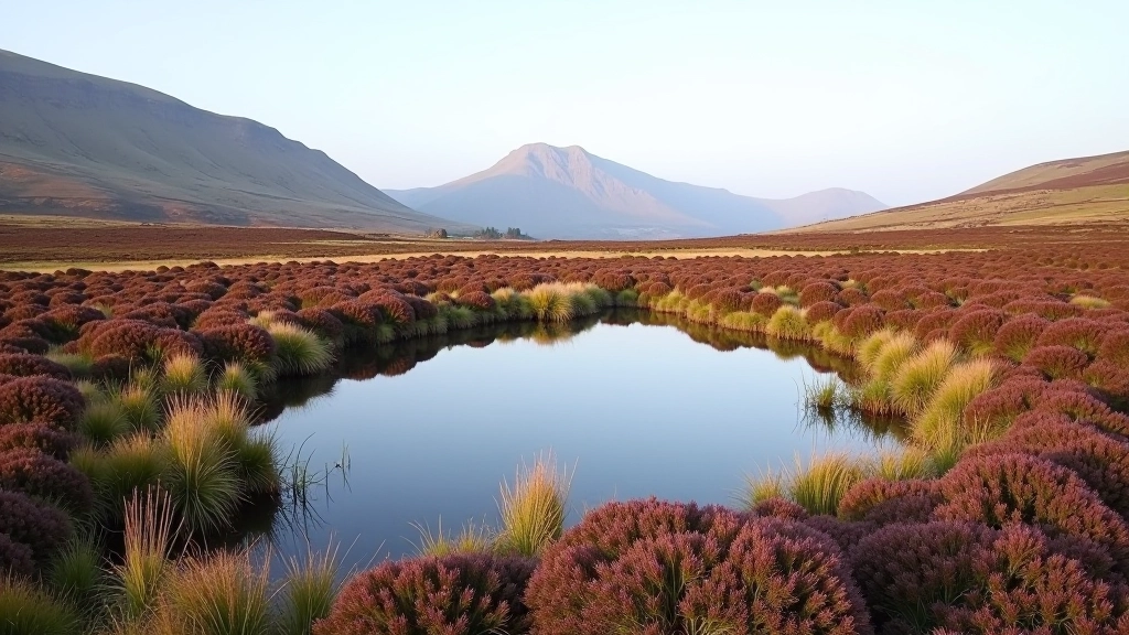
3km out and back to one of the prettiest pools on the mountain. Almost flat terrain and peaceful walking through moorland.
Read More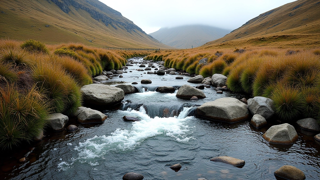
Follow a stream to its source in about 4km. The path gets quieter as you climb beyond the usual walking routes.
Read More