
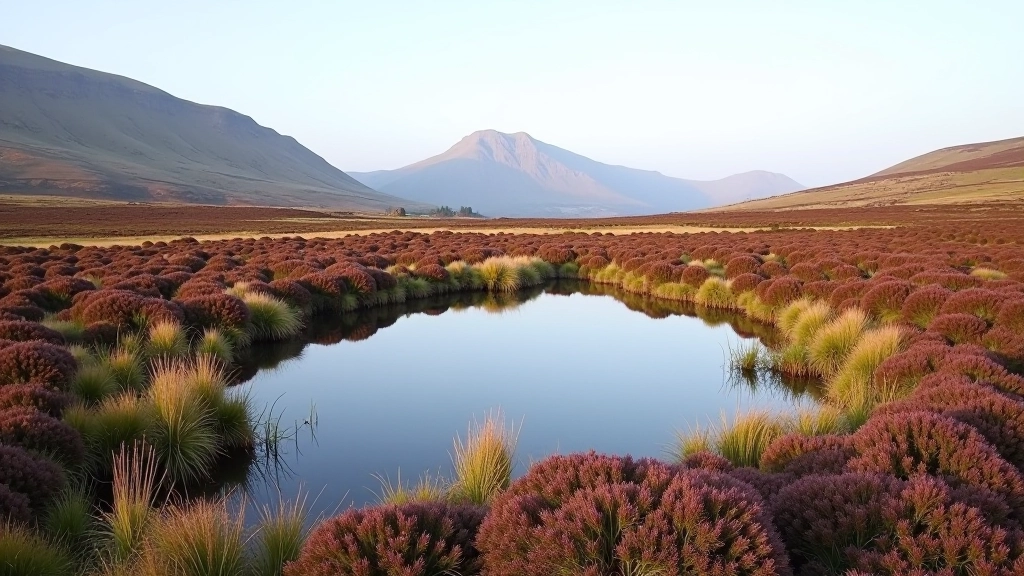
Bogland Pool Trail — The Easy Route
3km out and back to one of the prettiest pools on the mountain. Almost flat terrain with rewarding views at the turnaround point.
Read the guide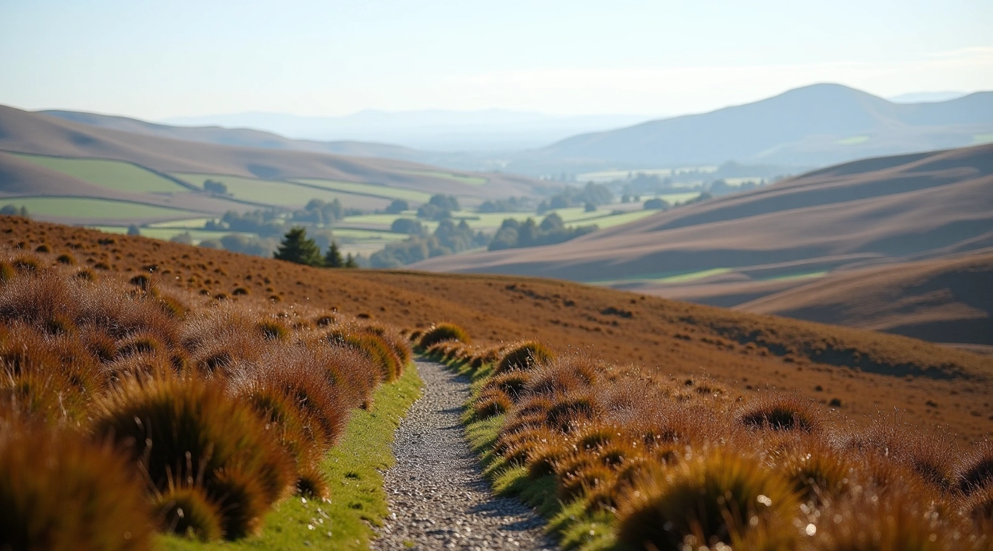
A 6km circuit that follows the ridge with bogland views on both sides. Gentle climb, no scrambling required. Takes about two and a half hours at a comfortable pace.
The Glenafelly Ridge isn't one of those walks that leaves you exhausted or frustrated. It's straightforward from start to finish — a real path, decent underfoot most of the time, and the kind of terrain that doesn't surprise you halfway up. You'll climb steadily but not steeply, which matters when you're not in your twenties anymore.
What makes it special is the views. You're walking between two bogland areas with clear sightlines across to the Slieve Bloom ridge proper. The weather makes a difference here — good visibility turns this into something genuinely memorable. Bad visibility? You're still fine. The path's clear enough that you won't need to rely on views to navigate.
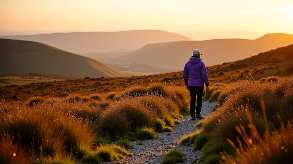
Starting from the car park, you'll head uphill on a well-used path for the first 1.5km. This is the steepest section, but it's only steep relative to the rest of the walk. Think steady incline, nothing that forces you to stop and catch your breath if you're moving at a reasonable pace.
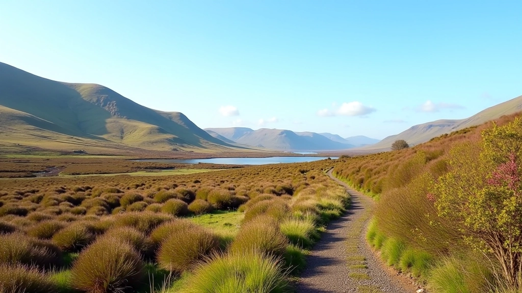
Once you're up on the ridge itself, the path flattens considerably. You'll follow the high ground for about 3km, with bog on both sides and the horizon changing as you move along. This is the part that makes the walk worth doing. There's something about walking above the landscape that changes how you experience it.
The descent is straightforward — you're retracing your steps back down, which means no surprises. The downhill is easier on the legs than the ascent, though watch your footing if it's been wet. Most people find the descent takes about 45 minutes for the 1.5km.
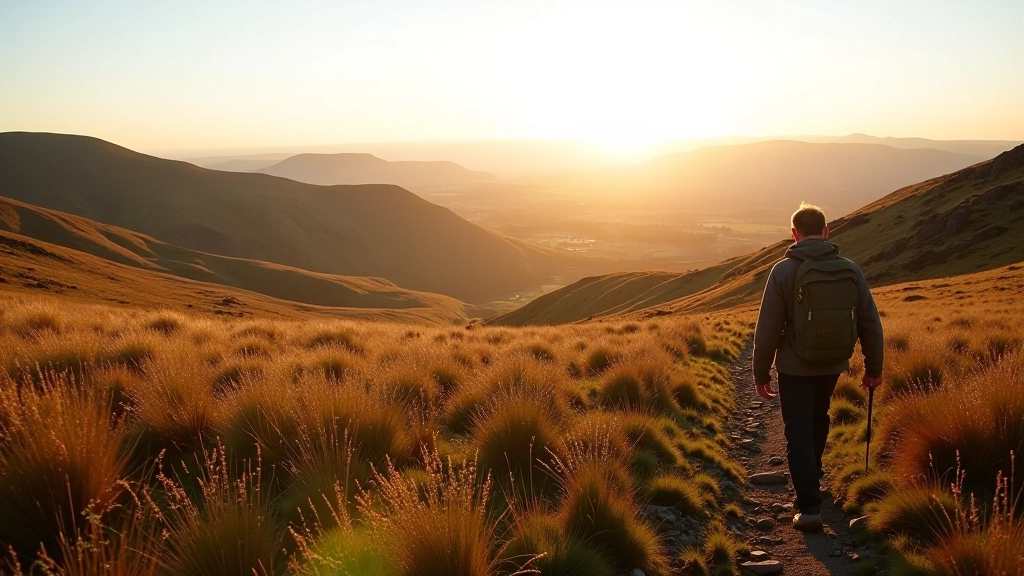
On the ridge itself, you're surrounded by landscape. Clear visibility takes you across to Slieve Bloom proper, and on good days you'll see beyond into the valleys. Even overcast weather shows you the contours of the land.
The bog on either side supports plants you won't see in regular fields. Depending on the season, you'll spot heather, sundews, and sphagnum moss. It's not dramatic like woodland, but it's genuinely interesting if you look down occasionally.
Two and a half hours total with a proper rest stop means you're not pushing yourself. The pace is sustainable, the climb is gradual, and there's nothing technical to learn. If you can walk on flat ground, you can do this route.
This walk's genuinely better in good weather, but you don't need perfect conditions. The path is clear in low visibility, and the route doesn't depend on technical navigation. Choose a day with dry ground and reasonable visibility.
The path up is mostly firm ground with some loose stone sections. The ridge itself can be muddy after rain, particularly where the path has seen heavy use. Good walking boots aren't optional — trainers will leave your feet uncomfortable and potentially wet. Gaiters are useful if you're walking within a day or two of heavy rain.
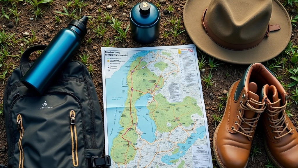
Water's essential — a litre minimum. Snacks that travel well matter more than you'd think at 600m elevation. A basic map or GPS helps even though the route's straightforward. Weather changes quickly on ridges, so a waterproof layer isn't just comfort — it's sense. Sunscreen in summer, hat for wind exposure year-round.
The car park at the start has space for 15-20 vehicles. It's well-used on weekends, so arriving early matters. The walk starts directly from the car park with no additional approach. There's a basic toilet facility, though it's not always maintained — don't rely on it.
Summer works well — the ground dries out properly and visibility tends to be better. July and August are busy though, which means a mid-week visit is more pleasant than weekends. Spring is underrated. The path's usually walkable by late March, and the light's genuinely lovely in May and June without summer crowds.
Autumn's excellent if you don't mind bog conditions being variable. The colours aren't dramatic like deciduous woodland, but the low light creates texture on the landscape. Winter's feasible but requires more caution — ice can form on the path, and darkness comes early. If you're walking in winter, start early and expect to finish in daylight.
Avoid this walk for 48 hours after heavy rain. The bog becomes genuinely boggy rather than just damp, and the path becomes treacherous. Check the weather forecast and pick a window with dry ground and reasonable visibility. You don't need perfect conditions, but sensible conditions matter.
Choose activities that match your fitness level, check local conditions before travelling, and speak with your GP if you have health concerns before starting a new activity. Weather on mountains changes quickly — check forecasts and be prepared to turn back if conditions deteriorate. Bring proper footwear, navigation tools, and sufficient water. Let someone know your plans and expected return time.
Author
Editorial Team
Written by the Slieve Bloom Trails editorial team, providing clear, tested information for accessible hiking in Laois.
Discover other accessible walks in the Slieve Bloom mountains
3km out and back to one of the prettiest pools on the mountain. Almost flat terrain with rewarding views at the turnaround point.
Read the guide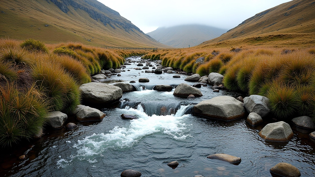
Follow a stream to its source in about 4km. The path gets quieter as you climb but stays well-defined throughout.
Read the guide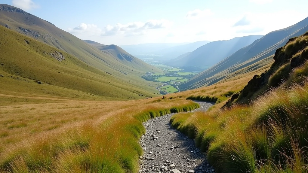
8km loop that crosses two cols (mountain passes). More substantial than other routes but still manageable for steady walkers.
Read the guide